We use cookies to make your experience better. To comply with the new e-Privacy directive, we need to ask for your consent to set the cookies. Learn more.

Converting CAD Data to Feature Objects in WMS
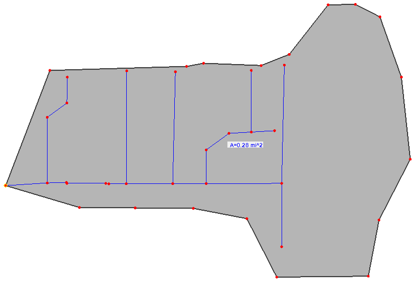
CAD data has been around for a long time and it’s one of the most readily available formats for geological data. WMS can make use of the data in a variety of ways. One of these ways is to convert CAD data into feature objects.
When CAD data for an area is available, DWG and DXF file data can be automatically converted to feature objects in WMS. Lines, points, and polygons in the CAD file can be turned into feature objects on a Map coverage for use in your WMS projects. This is done by doing the following:
- Import the CAD data into WMS. It will appear in the Project Explorer.
- In the Project Explorer, right-click on the CAD file and select CAD to | Feature Objects.
- In the CAD → Feature Objects dialog, select the layers to be converted to feature objects.
- Next, in the Clean Options dialog, select options to clean up the feature objects such as removing dangling arcs.
- Finally, the Properties dialog will appear letting you designate the type of coverage that will hold the new feature objects.
After you have converted your CAD data to feature objects, there are few items to keep in mind.
- Typically, CAD data will not designate the stream direction. Make certain to check the direction of arcs generated from CAD data. Use the Reorder Streams command to fix this.
- Polygons will not be automatically generated from polygons in the CAD data. Any enclosed arcs must be converted to polygons using the Build Polygons command.
- It may be necessary to use the Clean Options dialog again after conversion.
- Additional adjustments to the arcs may be necessary using the Map module tools.
Generating feature arcs from CAD data can save you a lot of time and frustration when building your watershed model. Try out converting CAD data into feature objects using WMS today!
January 9, 2019
|
View: 2712
|
Categories: WMS
|
By: <a class="mp-info" href="https://aquaveo.com/blog/author/admin">Aquaveo Staff</a>
About the Author

Performing a Silent Install of XMS (Passwords & Hardware Locks)
October 10, 2018
Computing Basin Curve Numbers in 9 Easy Steps
May 16, 2023
Converting a NET File to an INP File
May 9, 2018
Performing a Silent Install for ALS
October 27, 2021
Tips for Finding Information on the XMS Wiki
September 25, 2019
Managing MODFLOW 6 Data: Lists, Copy Period & CSVs
April 21, 2026
5 Concepts for Mastering Surface-water Modeling
April 14, 2026
Comparing Multiple Design Alternatives in One Project
April 7, 2026
Incorporating MODFLOW 6 Groundwater Energy (GWE)
March 31, 2026
Essential DEM Clean-Up for Watershed Delineation
March 24, 2026