We use cookies to make your experience better. To comply with the new e-Privacy directive, we need to ask for your consent to set the cookies. Learn more.
SMS - Surface-water Modeling System
Access a full range of coastal and riverine solutions with SMS - the leader in surface-water modeling
Flexible modeling approaches
Aquaveo pioneered the conceptual model approach. Build a conceptual model in SMS by constructing a high level representation of the model using familiar GIS objects: points, arcs and polygons. Work with large, complex models in a simple and efficient manner by using the conceptual modeling approach and easily update or change the model as needed.
SMS also has powerful tools to build meshes and grids.


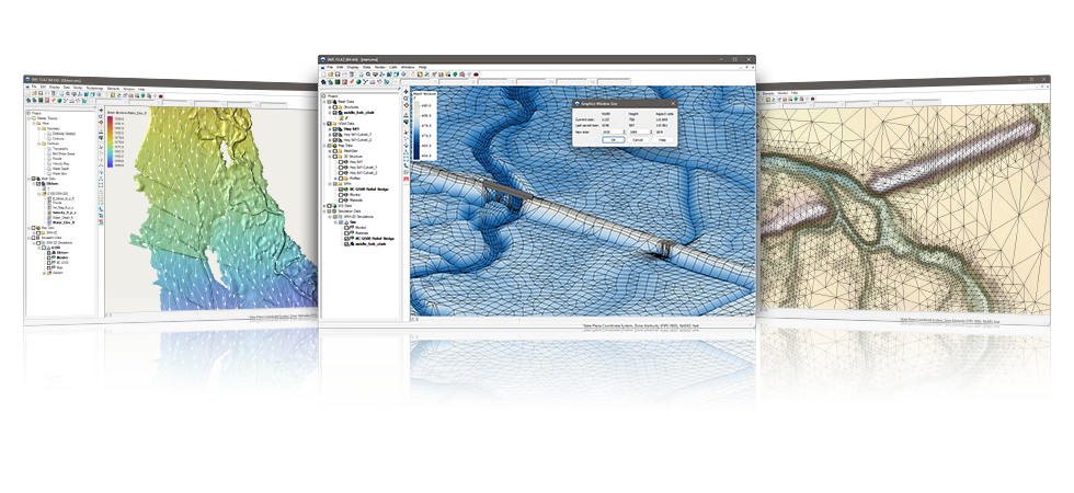
3D visualization optimized for performance
SMS is the most advanced software system available for performing surface-water simulations in a three-dimensional environment.
- Interact with models in true 3D
- Optimized OpenGL graphics for improved hardware rendering
- Create photo-realistic renderings
- Generate animations for PowerPoint or web presentations
- Drape images over the model and control the opacity
- Annotations – Add north arrows, scale bars, reference images, company logos, and more
Import a variety of data formats & imagery
Models require data from many different sources. That’s why SMS is built to easily import numerous file types:
- Raster images including georeference and projection support
- Topographical maps & elevation data
- Elevation & bathymetry data
- Web data services such as TerraServer
- ArcGIS geodatabases and shapefiles
- CAD files including .dwg, .dgn, and .dxf formats
- Worldwide projection support including Cartesian and Geographic Systems
- File Import wizard for delimited text files and spreadsheets


Advanced riverine & coastal modeling
SMS interfaces with a wide range of numerical models for applications including:
- Riverine analysis
- Contaminant transport
- Sediment transport
- Particle tracking
- Rural & urban flooding
- Estuarine
- Coastal circulation
- Inlet & wave modeling
Software from an Industry Leader
SMS is developed by Aquaveo, an engineering services company with many years of experience developing surface-water modeling solutions.
- Step-by-step tutorials and how-to videos
- Online product documentation
- Phone and email technical support
- Regularly scheduled training courses taught by expert modelers
- On-site training available
- Professional consulting services

SMS 13.4 System Requirements
- Operating System: Windows 11
- RAM: 16GB or more recommended
- CPU: Intel® or AMD® processor (x86-64). SMS software is CPU intensive. Some models and utilities integrated with SMS can take advantage of multiple processor cores simultaneously. We recommend the fastest CPU your budget allows.
- Storage: Recommended storage amount will vary depending on individual data requirements. Latest versions of SMS are very disk I/O intensive.
- Mechanical hard drive: Basic performance
- SATA solid state drive: Better performance
- NVMe solid state drive: Best performance - Graphics: A dedicated graphics card is better than integrated graphics. A basic or mid-range NVIDIA® card designed for gaming works best.
- Display Resolution: 1920 x 1080 or greater
Intel is a registered trademark of Intel Corporation or its subsidiaries.
AMD and the AMD Arrow logo are trademarks of Advanced Micro Devices, Inc.
NVIDIA is a registered trademark of NVIDIA Corporation.