We use cookies to make your experience better. To comply with the new e-Privacy directive, we need to ask for your consent to set the cookies. Learn more.

Using the ADCIRC Levee Elevation Tools
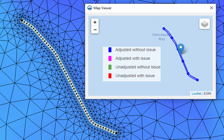
Have you needed a way to quickly fix a levee structure in your 2D mesh for your ADCIRC model? The SMS toolbox has tools devoted to helping you develop ADCIRC models that accurately reflect levee elevations. That’s our focus in today's blog post.
The elevations on your levee can affect the outcome of your ADCIRC model. What's more, having the wrong levee elevations can even cause your ADCIRC model to fail its run. But the Check/Fix Levee Crest Elevations tool and the Check/Fix Levee Ground Elevations tool are designed to help mitigate this issue. These tools ensure that the elevations both on the ground and on the crest of your ADCIRC levee feature match the desired measurements.
For example, an ADCIRC model run can fail because the levee ground elevation is higher than the levee crest elevation. The Check/Fix Levee Ground Elevations tool checks the ADCIRC domain elevation against the boundary condition coverage that defines the levees. Then, if adjustments are required, the Check/Fix Levee Ground Elevations tool creates a new dataset that can be mapped as the elevation for the 2D mesh.
On the other side of things, the Check/Fix Levee Crest Elevations tool can help ensure that the crest of the levee in the model does not go above or below the known measurements for the levee crest. A check line is either created in a coverage or imported into SMS then converted to a coverage. The check line has levee crest elevation information against which the Z values of the levee arcs get checked. If the levee crest elevations vary too much from the check line’s elevations, then the Check/Fix Levee Crest Elevations tool adjusts the z values on the levee arcs to match the check line.
In short, the Check/Fix Levee Crest Elevations and the Check/Fix Levee Ground Elevations tool can facilitate your modeling of ADCIRC levee features.
Try out these new levee elevation tools in SMS today!
September 28, 2022
|
View: 2085
|
Categories: SMS
|
By: <a class="mp-info" href="https://aquaveo.com/blog/author/admin">Aquaveo Staff</a>
About the Author

Performing a Silent Install of XMS (Passwords & Hardware Locks)
October 10, 2018
Computing Basin Curve Numbers in 9 Easy Steps
May 16, 2023
Converting a NET File to an INP File
May 9, 2018
Performing a Silent Install for ALS
October 27, 2021
Tips for Finding Information on the XMS Wiki
September 25, 2019
Comparing Multiple Design Alternatives in One Project
April 7, 2026
Incorporating MODFLOW 6 Groundwater Energy (GWE)
March 31, 2026
Essential DEM Clean-Up for Watershed Delineation
March 24, 2026
Essential Boundary Condition Guide
March 17, 2026
How to Delineate a Well Capture Zone Using MODPATH
March 10, 2026