We use cookies to make your experience better. To comply with the new e-Privacy directive, we need to ask for your consent to set the cookies. Learn more.

We are excited to announce the release of Arc Hydro Groundwater Pro (AHGW Pro) for ArcGIS Pro in beta! Arc Hydro Groundwater has long helped ArcGIS users archive, display, and analyze multidimensional groundwater data. Now these same capabilities are available in ArcGIS Pro.
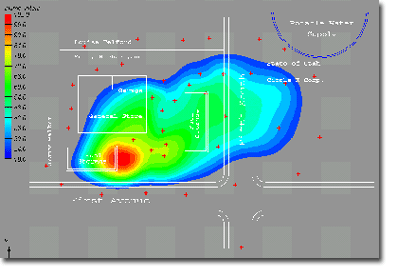
Arc Hydro Groundwater is a product that Aquaveo created in collaboration with ESRI. It is an add-on to ArcGIS software that enables you to work with groundwater data in ArcGIS applications. Its many capabilities include modeling boreholes and wells, creating and editing cross sections, and building 3D models.
With this new release of AHGW Pro, we wanted to highlight some of the features available.
For starters, you now get to combine the geodatabase technology of Arc Hydro Groundwater with the modern interface of ArcGIS Pro. AHGW Pro contains all of the tools available in AHGW with the exception of the MODFLOW analysis tools.
Another change is that ArcGIS Pro often uses panes rather than wizards and dialogs. Panes, unlike dialogs, do not have to be closed for other work to get done in ArcGIS Pro. The AHGW tools have been converted to use this pane format. This means that a tool from an AHGW Pro toolset can run while you work on something else. Furthermore, it gives you the capacity to leave the Geoprocessing pane open. Leaving a pane open preserves the last settings used in that pane. This means you can use the Geoprocessing pane to run a tool with the same settings—or slightly modified settings—more than once without having to set all the same parameters again.
Of course, you might be wary of having a lot of panes open. Fortunately, ArcGIS Pro makes it possible to stack panes, so they are neat, organized, and out of the way. You can therefore have multiple AHGW tools open while working on your project.
See what AHGW Pro and ArcGIS Pro can do together by downloading AHGW Pro for ArcGIS Pro today.
December 14, 2022
|
View: 3996
|
Categories: AHGW
|
By: <a class="mp-info" href="https://aquaveo.com/blog/author/admin">Aquaveo Staff</a>
About the Author

Performing a Silent Install of XMS (Passwords & Hardware Locks)
October 10, 2018
Computing Basin Curve Numbers in 9 Easy Steps
May 16, 2023
Converting a NET File to an INP File
May 9, 2018
Performing a Silent Install for ALS
October 27, 2021
Tips for Finding Information on the XMS Wiki
September 25, 2019
Best Practices for Modeling Complex Geometries
April 28, 2026
Managing MODFLOW 6 Data: Lists, Copy Period & CSVs
April 21, 2026
5 Concepts for Mastering Surface-water Modeling
April 14, 2026
Comparing Multiple Design Alternatives in One Project
April 7, 2026
Incorporating MODFLOW 6 Groundwater Energy (GWE)
March 31, 2026