We use cookies to make your experience better. To comply with the new e-Privacy directive, we need to ask for your consent to set the cookies. Learn more.
Discover the Map Activity Tools in SMS
Aquaveo’s Surface-water Modeling System (SMS) comes equipped with various tools that streamline the water modeling process. In this collection, the Map Activity and Map Activity to UGrid features in the toolbox allow you to precisely define active and inactive areas of a grid or dataset. Some models and processes depend on being told which areas are active for which purpose these tools have been included.
The tools Map Activity and Map Activity to UGrid are located in the software Toolbox in the Datasets folder and Unstructured Grids folder, respectively. Both will create a new object based on the defined activity: either a new dataset or a new unstructured grid (UGrid).
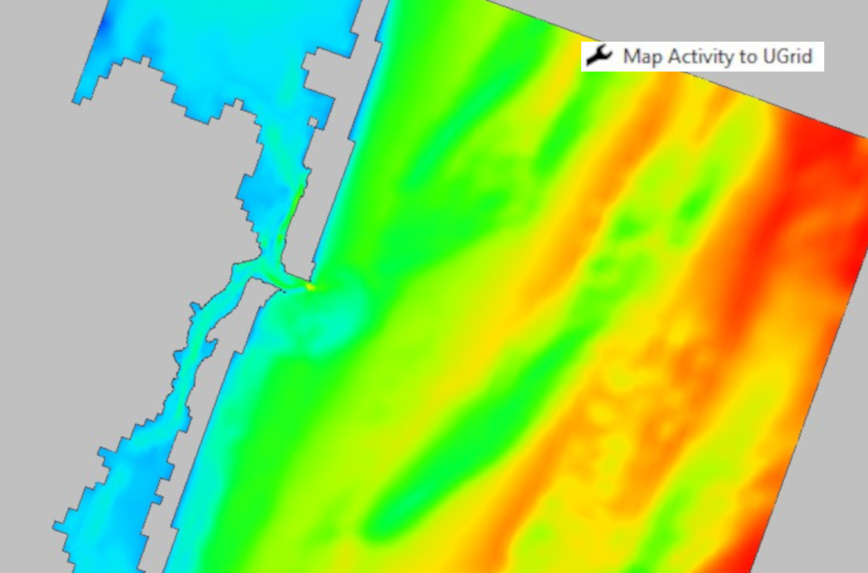
The Map Activity tool has the ability to choose the activity dataset that will define the values for the new dataset using the Value dataset option, and the ability to choose the dataset that will define the activity for the new dataset using the Activity dataset option. Once you have selected the inputs, the only thing left to do is name the new activity dataset and run the tool. The tool outputs a new dataset that displays the custom inputs in the Graphics Window.

An important step when using the Map Activity to UGrid tool is establishing the proper activity coverage that defines the active and inactive areas of the unstructured grid. Ensure that you create an “Activity Classification” coverage with defined polygons in order to run the tool successfully. Additionally, assign polygons to the coverage to enable specificity when mapping activity. This tool has the ability to choose the geometry that will define the values for the new UGrid using the Input grid option, and the ability to select the coverage that will define the activity for the new UGrid using the Activity coverage option. After selecting the inputs, you name the new activity UGrid and run the tool. As a result, the tool populates a new UGrid that displays the given dataset inputs in the Graphics Window.
Now that you’ve been introduced to the activity tools in SMS 13.3, try using them in your surface-water models today!


