Handling Depth vs. Elevation
When creating a surface-water model, your model will make use of bathymetry data as either elevation or depth. Knowing how the Surface-water Modeling System (SMS) represents depth versus elevation is vital when it comes to creating, running, and understanding a model. SMS uses several different numerical models, and some models require that depth be negative and elevations be positive, while other models require the opposite.
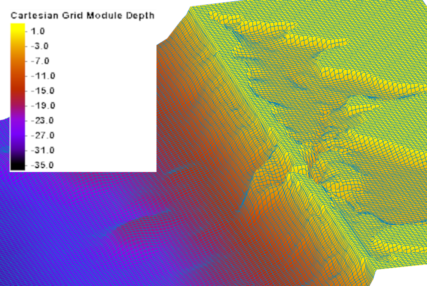
It can become confusing when trying to remember what is needed for each model, which is why the decision was made to standardize how SMS treats elevation and depth across all models. SMS treats all depth values as negative and all elevation values as positive. That way you don’t have to remember how data needs to be entered for each model. If depth data is entered with positive values, SMS will read the data as part of the land elevations, which will produce incorrect calculations.
Some of the most used models where you may see that the elevation values have been changed to fit SMS’s conventions after importing are CMS-FLOW, CMS Wave, and CGWAVE. If you’re not sure whether or not the imported elevation data has been changed and would like to check, then this is a great time to make use of the Mesh module’s find function. Under both the Nodes menu and the Elements menu you’ll see a Find… option listed. You can use this to quickly locate a specific node or element inside of SMS to compare the elevation data with the model’s files outside of SMS.
If SMS has changed the values of the elevation data to account for the required negative depth value, there is no need to be concerned about how this will affect the end result for your model. SMS automatically adjusts the data to match the convention of the model when the project information is exported to the model executable.
Take this information and head over to SMS, more confident that your project’s elevation data will be handled correctly.


