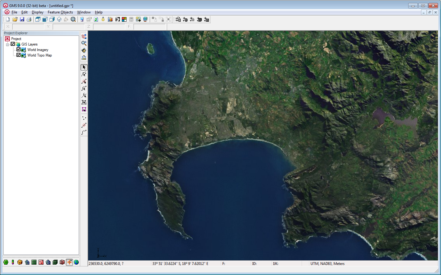
"Online maps" are a new feature added at GMS 9.0. Online maps are free raster data (aerial photos, street maps, elevation data etc.) from sources such as
ESRI and
OpenStreetMap.org (other sources can be added via an Advanced button). If you have an internet connection, online maps can be displayed in the background in GMS and are updated automatically as you zoom in and out or pan the view. The imagery is automatically projected to the current display projection and displayed in real world coordinates. An online map can be exported and saved locally with your project.
Online maps provide an easy way to locate and start a new modeling project. For more information,
see the wiki.
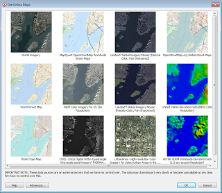 |
| Get Online Maps dialog. |
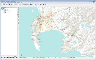 |
| GMS showing a World Topo Map Online Map. |
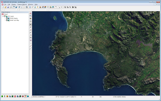 |
| GMS showing a World Imagery Online Map. |