GMS supports multiple methods for performing stochastic simulations such as parameter randomization and indicator simulations. In version 9.0 we have added support for another stochastic method: the PEST Null Space Monte Carlo (NSMC) method. The NSMC method allows you to generate multiple calibrated models with different sets of parameters.
There is always a significant amount of uncertainty associated with a groundwater model. This uncertainty can be associated with the conceptual model or the field data or the input parameters of the model. Some model parameters, such as hydraulic conductivity, are particularly prone to uncertainty. This uncertainty can be reduced by calibrating a model to observation data (monitoring wells, stream flows, etc.). However, even a well-calibrated model can have significant uncertainty associated with it.
The challenge with a groundwater model is to explore the uncertainty while maintaining a calibrated model (good fit with field measured values). The generation of model input parameters that will respect calibration constraints is a time consuming matter since a parameter estimation exercise must be undertaken for each new set of parameters. However, two tools provided with PEST greatly reduce the amount of time required to perform calibration-constrained
Monte Carlo analysis of a groundwater model. The first is the use of SVD-Assist in the calibration process. The second is the pre-calibration null space
projection of differences between the stochastic parameter fields and the simplified “calibration parameter field” that is decreed to “calibrate the model”. By using both of these utilities it is possible to obtain parameter sets that respect both the stochastic variability of the subsurface as well as the field measured values; this is accomplished with only a handful of runs per realization.
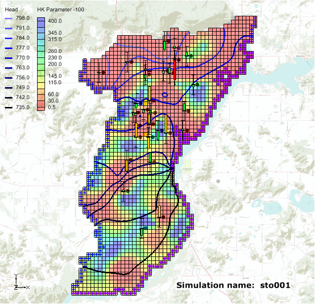
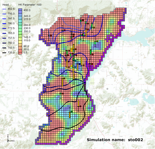
The results from a PEST NSMC run are illustrated in the figures below where we have two different hydraulic conductivity fields and yet the heads at the observations points remain within acceptable error limits.
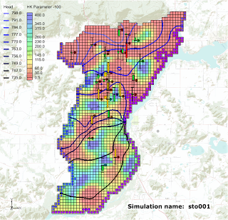 | | Simulation 1 |
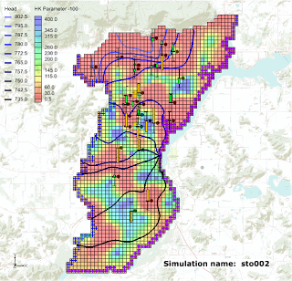 | | Simulation 2 |
|
|
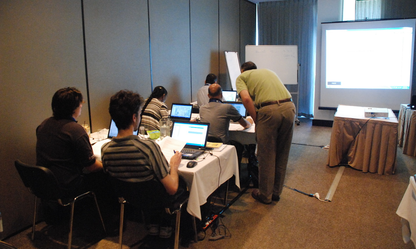
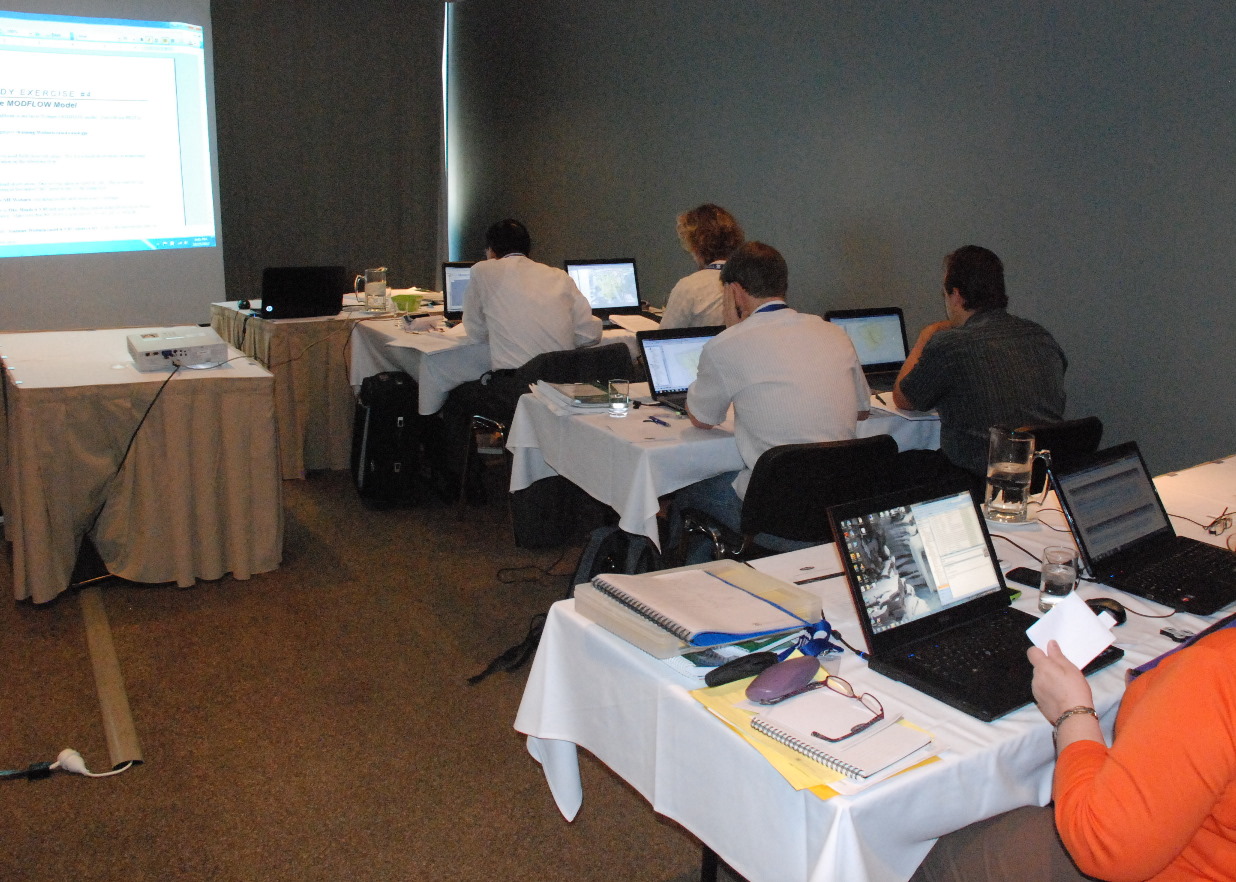
Using PEST NSMC is very easy in GMS. Two new tutorials have been developed to teach users how to use the NSMC method in GMS. You can find the tutorials in the
GMS Learning Center.