Training Mexico City, Mexico
By alemon on March 12, 2012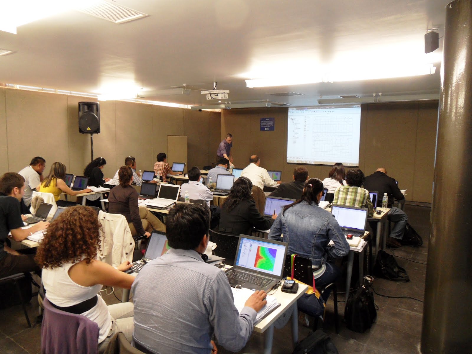
 A GMS training course was held from March 5-8 in Mexico City, Mexico. Alan Lemon of the GMS development team and Dr. Willis Weight of Carroll College, Montana taught the course.
The course was well attended. More than 20 people attended the course. There was a wide variety in the amount of experience with groundwater modeling. Some attendees had been building models for years, while others were relatively new to groundwater modeling. Also, the attendees came from many different backgrounds including: professors at universities, consultants, and students. Based on the comments submitted after the course, the attendees felt like they all learned something valuable that they could use in their work. Many attendees commented on how much easier it was to build models using GMS than other MODFLOW preprocessors. They appreciated using the conceptual model approach and having their data independent of a MODFLOW grid.
Thanks to Jorge Chipres and Catalina Morato for their efforts in organizing the course.
Thanks to Jorge Chipres and Catalina Morato for their efforts in organizing the course.


