We use cookies to make your experience better. To comply with the new e-Privacy directive, we need to ask for your consent to set the cookies. Learn more.

Combining Runoff in Watershed Basins with WMS
The Watershed Modelling System (WMS) includes use of the Rational Method, which enables the calculation of peak flows for small watersheds in urban and rural areas. This feature can combine runoff from multiple basins to find the values.
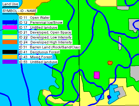
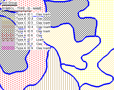
The Rational Method requires a couple specific components to calculate the runoff coefficient for an area. The required inputs are soil data, along with either a table relating soil IDs to runoff coefficients, or a runoff coefficient coverage. Composite runoff coefficients use an area-weighted average of all runoff coefficients that overlay each basin for computation. The inputs chosen will depend on what method you choose to calculate runoff in the Rational Method module. The two primary methods to calculate runoff are first, to assign coefficients to polygons within a coverage, and second, to import a table with all of the coefficients already assigned to a land or soil use ID.
There are two ways to assign runoff coefficients to a polygon. The first way is to enter the coefficients polygon by polygon, and the second is to assign the coefficients through the Soil type mapping dialog.
To assign runoff coefficients polygon by polygon, do the following:
- Start with a Runoff Coefficient coverage.
- Select one of the polygons that intersects the drainage basin.
- Enter the runoff coefficient that matches the soil or land type for that polygon in the Runoff Coefficient dialog window that appears.
- After entering the data for each polygon that intersects the basin, activate the Hydrologic Modeling Module and go to Calculators | Compute GIS Attributes.
- In the Compute GIS Attributes dialog, make sure the following options are active:
- “WMS Coverages” is selected as the data type.
- Under Computation, Runoff coefficients is selected on the dropdown menu.
- The “Use” dropdown is set to runoff coefficient coverage.
- The “coverage name” dropdown is set to your new coverage.
To assign runoff coefficients to polygons by soil mapping, do the following:
- Start with a “Soil Type” coverage.
- Select one of the polygons that intersects the drainage basin.
- On the bottom left of the Soil type mapping dialog that appears, turn off the "SCS Soil Type" checkbox and turn on the "Runoff Coefficient" checkbox.
- You will now have a list of soil IDs and names with a field for runoff coefficients. Enter a coefficient value for each of these fields according to the material type.
- Open the Compute GIS Attributes dialog as described above.
- Set everything the same as are in the last set of steps, except change the "Use" dropdown to Coverage.
There are multiple ways to create runoff coefficient tables to import into a project. One of the ways is to create a table from scratch. If you choose this route, you can view the structure requirements on the Aquaveo wiki to make sure it includes everything you need. To import a table with the runoff coefficients, do the following:
- With the “Soil Type” coverage active, double-click on a polygon that intersects the drainage basin.
- Select “Import file” under Import soil attribute file.
You can also import a table in the Compute GIS Attributes dialog.
Head over to WMS and try out the different ways to assign runoff coefficients to your watershed project today!
July 3, 2023
|
View: 3574
|
Categories: WMS
|
By: <a class="mp-info" href="https://aquaveo.com/blog/author/admin">Aquaveo Staff</a>
About the Author

Performing a Silent Install of XMS (Passwords & Hardware Locks)
October 10, 2018
Computing Basin Curve Numbers in 9 Easy Steps
May 16, 2023
Converting a NET File to an INP File
May 9, 2018
Performing a Silent Install for ALS
October 27, 2021
Tips for Finding Information on the XMS Wiki
September 25, 2019
Best Practices for Modeling Complex Geometries
April 28, 2026
Managing MODFLOW 6 Data: Lists, Copy Period & CSVs
April 21, 2026
5 Concepts for Mastering Surface-water Modeling
April 14, 2026
Comparing Multiple Design Alternatives in One Project
April 7, 2026
Incorporating MODFLOW 6 Groundwater Energy (GWE)
March 31, 2026