We use cookies to make your experience better. To comply with the new e-Privacy directive, we need to ask for your consent to set the cookies. Learn more.

Tips for Long Term Precipitation Simulations
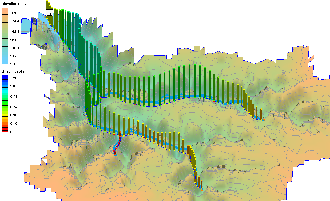
The Watershed Modeling System (WMS) has several options for modeling rainfall events, however many of them are built to model only single rainfall events. If you are looking to create long term simulations that include precipitation, the Gridded Surface Subsurface Hydrologic Analysis (GSSHA) models may be the best fit for your projects. GSSHA was engineered with long term simulations in mind. GSSHA is a product of the US Army Engineer Research and Development Center (ERDC) Hydrologic Modeling Branch, in the Coastal and Hydraulics Laboratory. This blog post covers some information that may be helpful for the next time you build a long term simulation with precipitation.
While HEC-HMS models are also capable of running long term simulations with precipitation, unlike GSSHA, long term projects are not the main focus of the model. If you’ve already gotten started with HEC-HMS, you may want to consider converting your project to GSSHA. We even have a tutorial that can walk you through doing just that.
There are multiple methods you can use to define precipitation data in GSSHA: Uniform, Gage, Hyetograph, and Nexrad Radar. This is done in the GSSHA Precipitation dialog. Rainfall data for GSSHA models are input as a series of single rainfall events. WMS calculates evapotranspiration between each event, which makes evapotranspiration data a required component of the simulation. There’s no limit to how many times the pattern of rainfall events and evapotranspiration can be repeated, or for what duration, as long as you have enough data.
If your model is not running as expected, there are a couple simple things you can check first when trouble-shooting your project. Be sure to check that you have included enough precipitation and hydrometeorological data. Not including enough data in your project can result in a faulty output. Each data point must be tied to a single point in time, down to the minute.
GSSHA uses gage and HMET files for precipitation and hydrometeorological data, respectively. This data can be prepared using the Time Series Data Editor application so that it can be imported into WMS for use in a long term simulation. Formatting this data properly can be a bit finicky at times, so you may need to double-check that everything is getting read in correctly. We have a tutorial that can show you how this process works, as well as many other tutorials covering different aspects of GSSHA in the WMS Learning portion of our website.
Head over to WMS and try these tips to keep your long term GSSHA simulation running smoothly.
February 27, 2024
|
View: 2118
|
By: <a class="mp-info" href="https://aquaveo.com/blog/author/admin">Aquaveo Staff</a>
About the Author

Performing a Silent Install of XMS (Passwords & Hardware Locks)
October 10, 2018
Computing Basin Curve Numbers in 9 Easy Steps
May 16, 2023
Converting a NET File to an INP File
May 9, 2018
Performing a Silent Install for ALS
October 27, 2021
Tips for Finding Information on the XMS Wiki
September 25, 2019
Best Practices for Modeling Complex Geometries
April 28, 2026
Managing MODFLOW 6 Data: Lists, Copy Period & CSVs
April 21, 2026
5 Concepts for Mastering Surface-water Modeling
April 14, 2026
Comparing Multiple Design Alternatives in One Project
April 7, 2026
Incorporating MODFLOW 6 Groundwater Energy (GWE)
March 31, 2026